 (Image via
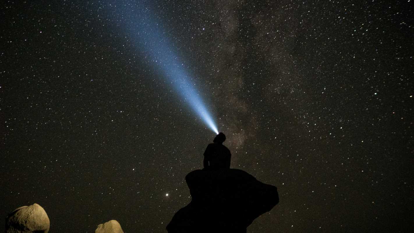
There’s a certain romance to the idea of leaving technology behind when we head into the great outdoors. We dream of disconnecting, of trading screens for streams and notifications for nature. But let's be honest, that sleek glass rectangle in your pocket is more than just a distraction, it's a powerful tool. When loaded with the right software, your smartphone can transform from a source of digital noise into an indispensable survival kit.
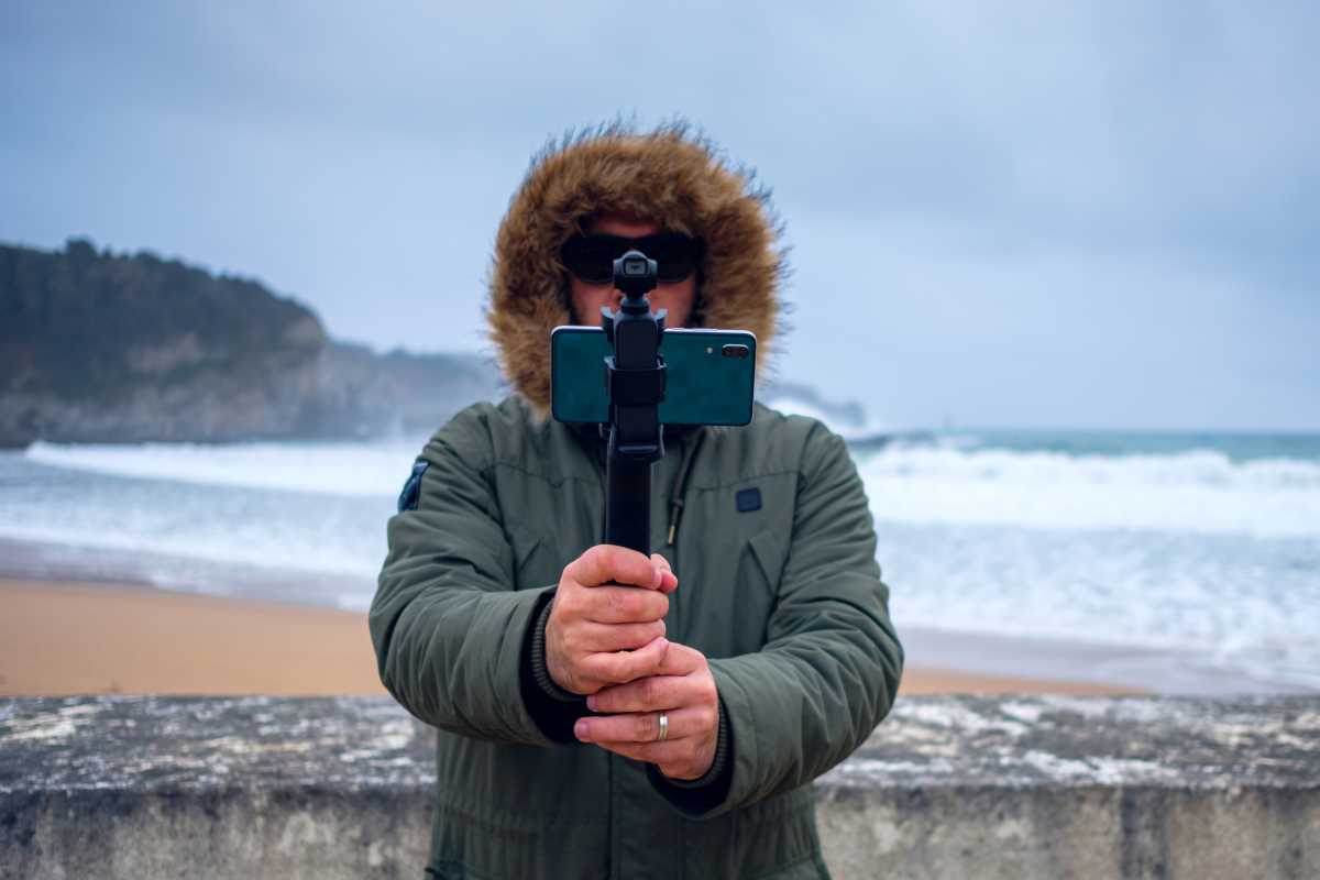
Modern apps have become so sophisticated that they can serve as your map, your compass, your weather station, your field guide, and your emergency beacon, all in one lightweight package. They can help you plan your route, avoid a surprise blizzard, identify a mysterious plant, and find the last known patch of cell service to send an "I'm okay" text. The key is to choose apps that are built for the unique challenges of the wilderness, particularly the glaring lack of a reliable internet connection.
Ditching your phone entirely might sound noble, but being prepared is even better. Before you lace up your boots and hit the trail, make sure your digital backpack is as well-stocked as your physical one. Here are five must-have apps that every hiker and camper should download.
The All-In-One Navigation
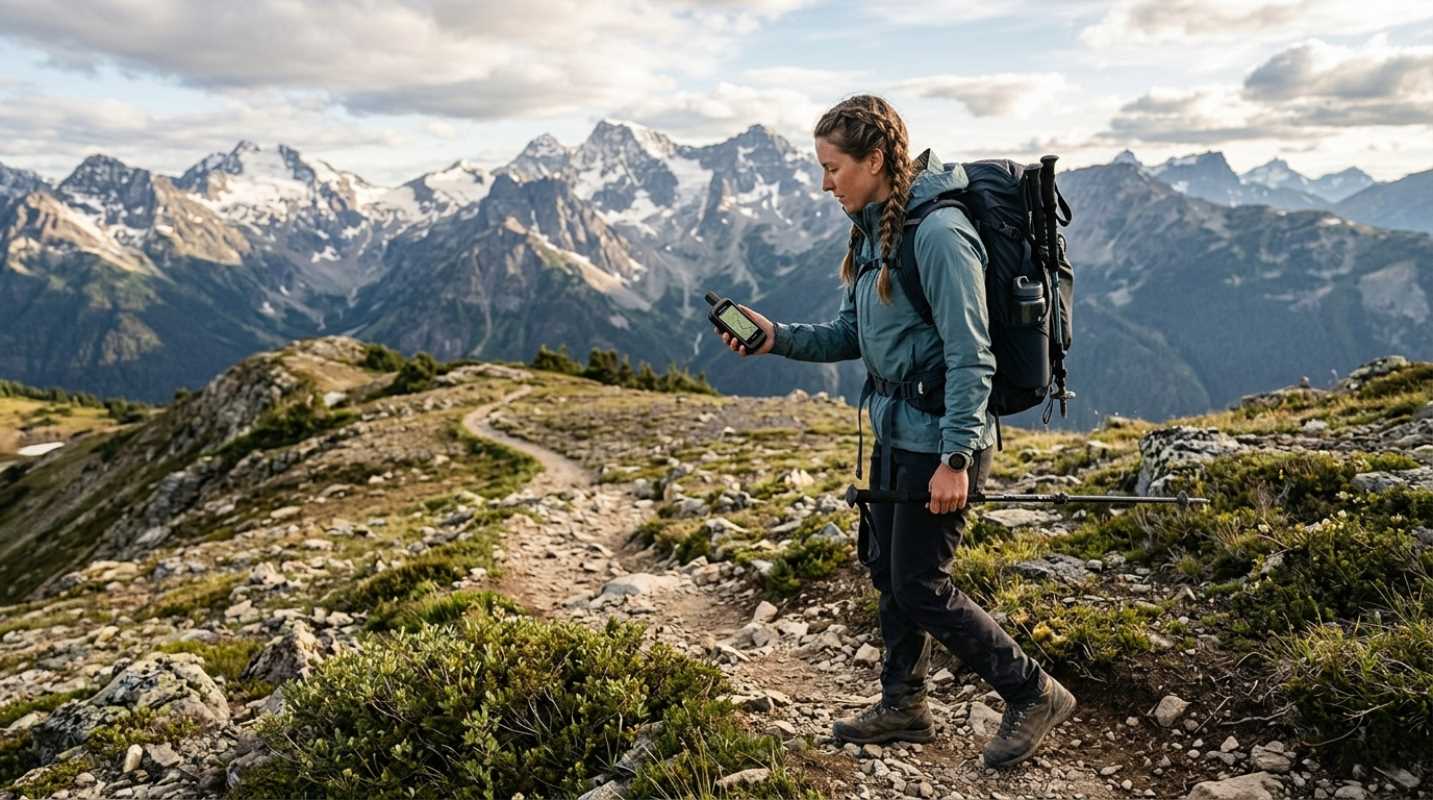
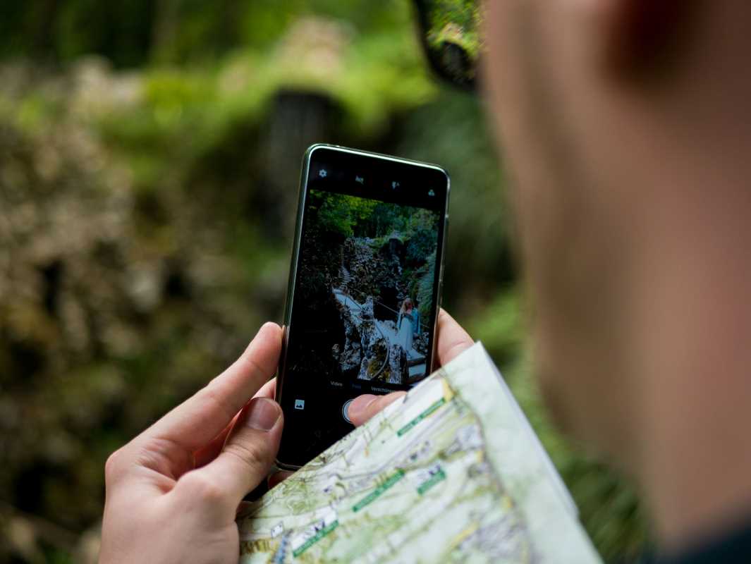
The single most important function your phone can serve in the backcountry is navigation. While a paper map and compass are non-negotiable backup skills, a high-quality GPS app makes route-finding more efficient, accurate, and intuitive. The best apps in this category are more than just a blue dot on a blank screen; they are comprehensive topographic tools designed for offline use.
Look for an app that allows you to download detailed maps before you leave home. This is non-negotiable. Once you lose cell service, an app that streams its maps is nothing more than a battery-draining paperweight. Top-tier navigation apps offer multiple map layers, including satellite imagery, USGS topos, and public land boundaries. This allows you to see the terrain in rich detail, identify potential water sources, and make sure you are not accidentally trespassing on private property.
The real power of these apps lies in their trip-planning features. You can plot your route from your desktop computer, snapping the trail to known paths, and see a detailed elevation profile that tells you exactly how much climbing you're in for. Once the route is synced to your phone, it provides turn-by-turn guidance and tracks your progress, creating a "breadcrumb" trail that makes it simple to backtrack if you get turned around. These apps turn your phone into a dedicated handheld GPS unit that is more powerful and user-friendly than devices that cost hundreds of dollars just a few years ago.
The Hyperlocal Weather Forecaster
Weather in the mountains is a fickle beast. A sunny morning can turn into a hail-filled afternoon with terrifying speed. Relying on a standard weather app that tells you the forecast for the nearest town is often useless when you are 5,000 feet higher and ten miles deeper into a canyon. You need a weather app that specializes in "hyperlocal" or "down-to-the-minute" forecasting.
These advanced weather apps use a combination of top-tier forecast models, data from nearby weather stations, and radar to provide incredibly precise predictions for your exact GPS location. They can tell you not just that it’s going to rain, but that a light shower will start in 12 minutes and last for exactly 25 minutes. This level of detail is a game-changer for planning your day. It helps you decide whether you have enough time to summit before the afternoon thunderstorms roll in or when you should start setting up your tent to avoid a downpour.
Many of these apps also include detailed wind speed, humidity, and UV index forecasts, which are critical for high-altitude or exposed environments. While they do require a data connection to pull the latest forecast, the best strategy is to check the detailed hourly forecast right before you lose service. The insight you gain can be the difference between a great day on the trail and a miserable, soggy retreat.
The Ultimate First Aid and Survival Guide
What do you do for a snakebite? How do you treat heat exhaustion? How do you build a shelter if you are unexpectedly forced to spend the night in the woods? In a moment of panic, it’s easy for your brain to go blank. Having a comprehensive first aid and survival guide downloaded on your phone can be an invaluable resource in an emergency.
There are several excellent apps developed by organizations like the Red Cross or the U.S. Army that provide simple, step-by-step instructions for handling common medical emergencies and survival situations. These apps are designed for offline use and feature clear, concise language and helpful illustrations. They can guide you through everything from treating a blister and splinting a fracture to purifying water and tying essential knots.
A great survival app will often include other useful tools. Here are some features to look for:
- Offline Medical Guides: Clear instructions for everything from minor cuts to serious injuries.
- Survival Manuals: Based on military field guides, covering topics like fire-starting, shelter-building, and finding food.
- SOS Flashlight: A tool that flashes the universal SOS signal using your phone’s LED.
- Sun/Moon Information: Provides precise sunrise, sunset, moonrise, and moonset times to help you plan your daylight hours.
You hope you never have to use it, but downloading one of these apps is a simple and responsible step in being prepared for the worst.
The Naturalist In Your Pocket
One of the great joys of hiking is discovering the flora and fauna around you. What is that strange-looking mushroom? What kind of bird is making that call? Is this plant poison ivy? A naturalist app can turn a simple walk in the woods into an engaging and educational experience.
These apps use a combination of your phone’s camera and sophisticated AI to identify plants, animals, insects, and fungi. The process is incredibly simple: you just snap a photo of the unknown specimen, and the app cross-references it with a massive database to provide an identification, often with surprising accuracy. It’s like having a team of biologists in your pocket.
These apps not only satisfy your curiosity but also serve a practical safety purpose. They can help you identify and avoid hazardous plants like poison oak or toxic berries. Many also allow you to contribute your observations to citizen science projects, helping researchers track biodiversity and monitor the health of ecosystems. It’s a fun, interactive way to connect more deeply with the natural world around you and learn something new on every hike.
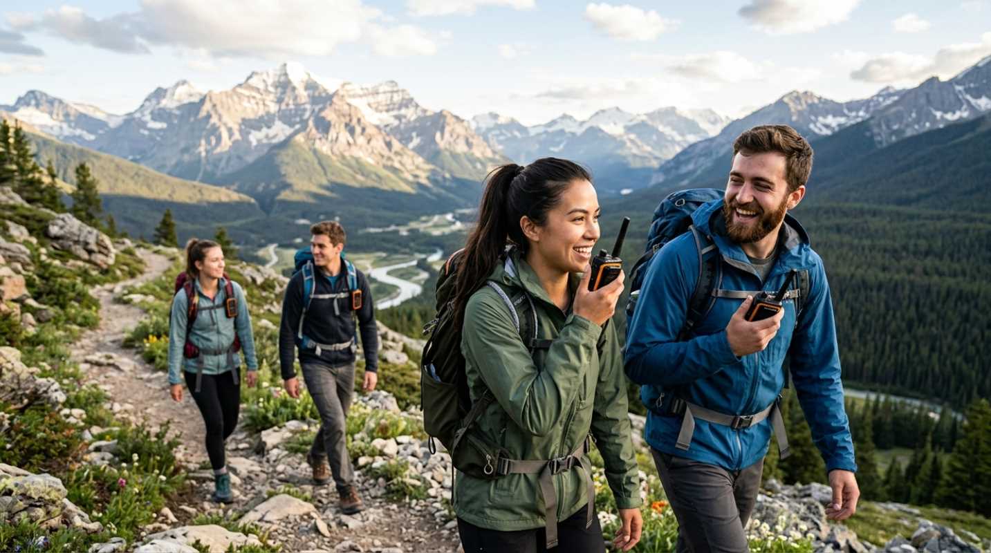
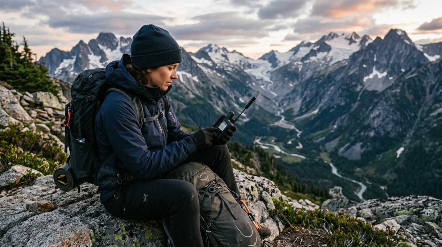
The Backcountry Communication Bridge
The number one rule of solo hiking is to tell someone where you are going and when you expect to be back. But what if your plans change? What if you decide to take a scenic detour or get delayed by a tough section of trail? A satellite communication app, when paired with a compatible satellite messenger device, is the ultimate tool for staying connected when you are far beyond the reach of cell towers.
Devices from brands like Garmin or Zoleo pair with a sophisticated app on your phone via Bluetooth. The app provides a familiar and easy-to-use interface for composing and sending text messages, which are then relayed through the device to the Iridium satellite network. This allows you to have two-way conversations with loved ones, send them updates on your progress, or let them know you’ll be a day late without causing a panic.
These apps do more than just send texts. They can trigger an SOS that sends your exact location to a 24/7 search and rescue coordination center. They can retrieve detailed weather forecasts for remote locations. They allow your friends and family to track your progress in real-time on a web-based map. While this solution requires purchasing a separate piece of hardware and a monthly subscription plan, for serious adventurers, remote workers, or anyone who frequently travels solo, the peace of mind it provides is priceless.