Remember when packing for a backpacking trip meant loading your pack with heavy, clunky gear? You had the massive guidebooks, the plastic-wrapped topographic maps, and a heavy brass compass that felt like a paperweight. If you wanted to stay on course, you had to stop every mile, unfold a giant sheet of paper in the wind, and squint at contour lines.
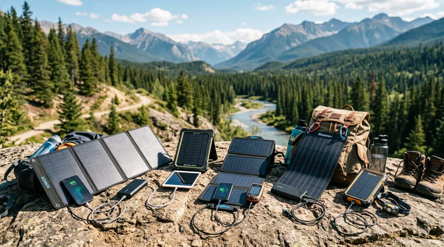
Things are different now. The outdoor world has shifted from heavy, analog gear to minimalist, high-tech tools.¹ You can now fit an entire library of maps and a direct line to emergency services right in your pocket.
But why does this matter? When you are miles deep in the backcountry, gear reliability is everything. A single wrong turn in a canyon or a sudden whiteout on a ridge can turn a great weekend into a survival situation.
Today, lightweight navigation is not just about saving ounces. It is about carrying smart, highly reliable systems that keep you safe without dragging you down. Modern standards demand devices that weigh less than a cup of coffee but can still pinpoint your location anywhere on earth.
The Evolution of Backcountry Navigation Devices
We all love the classic paper map and compass. They do not need batteries, they do not break when you drop them, and they work in any weather. But let's be honest, trying to read a wet map in a high wind is a nightmare.
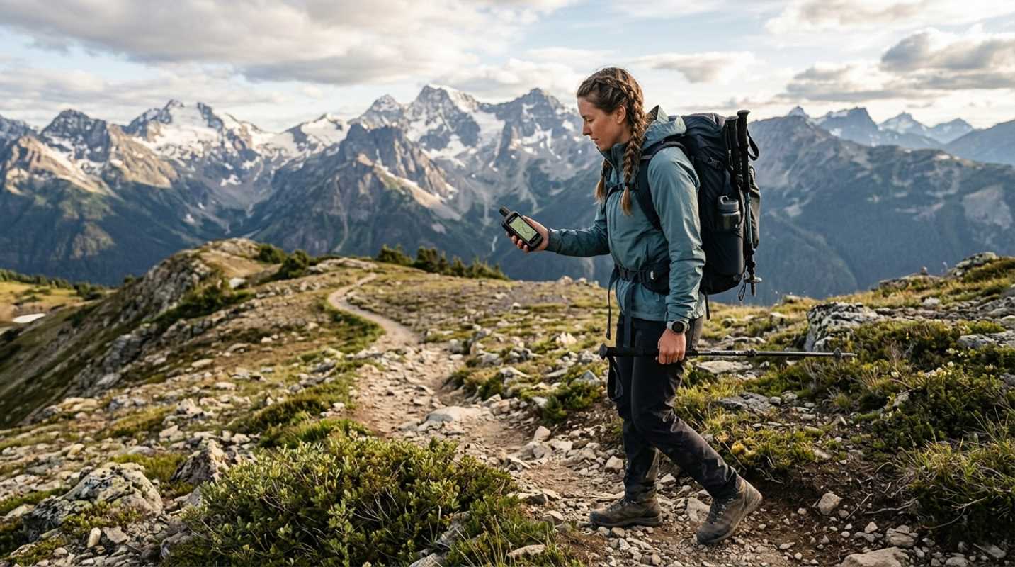
Digital solutions have changed the game. They give you real-time location tracking, elevation profiles, and instant route recalculations. Instead of guessing which ridge you are looking at, you can look at your screen and see your exact coordinates within seconds.
Does this mean you should leave the paper map at home? Absolutely not. True trail safety relies on redundancy. Your digital device is your primary tool, but a paper map is your ultimate backup. If your electronics fail, that paper map is what gets you home.
The real challenge with modern tech is balancing battery life with weight. You want a device that is light enough to ignore on your shoulder strap, but powerful enough to stay alive for a multi-week trip. Fortunately, manufacturers are finding ways to pack massive battery capacity into tiny, shockproof packages.
We have also seen a massive shift in how these devices communicate. Have you ever tried to describe a complex medical emergency using only a 160-character text? It is incredibly difficult. New satellite protocols let you send compressed photos and voice memos, meaning rescue teams can see exactly what they are dealing with before they even launch a helicopter.
Top Picks, The Best Lightweight GPS Units
If you are looking for the sweet spot between weight and capability, you have some incredible options. Let's look at the best lightweight devices currently ruling the trails.
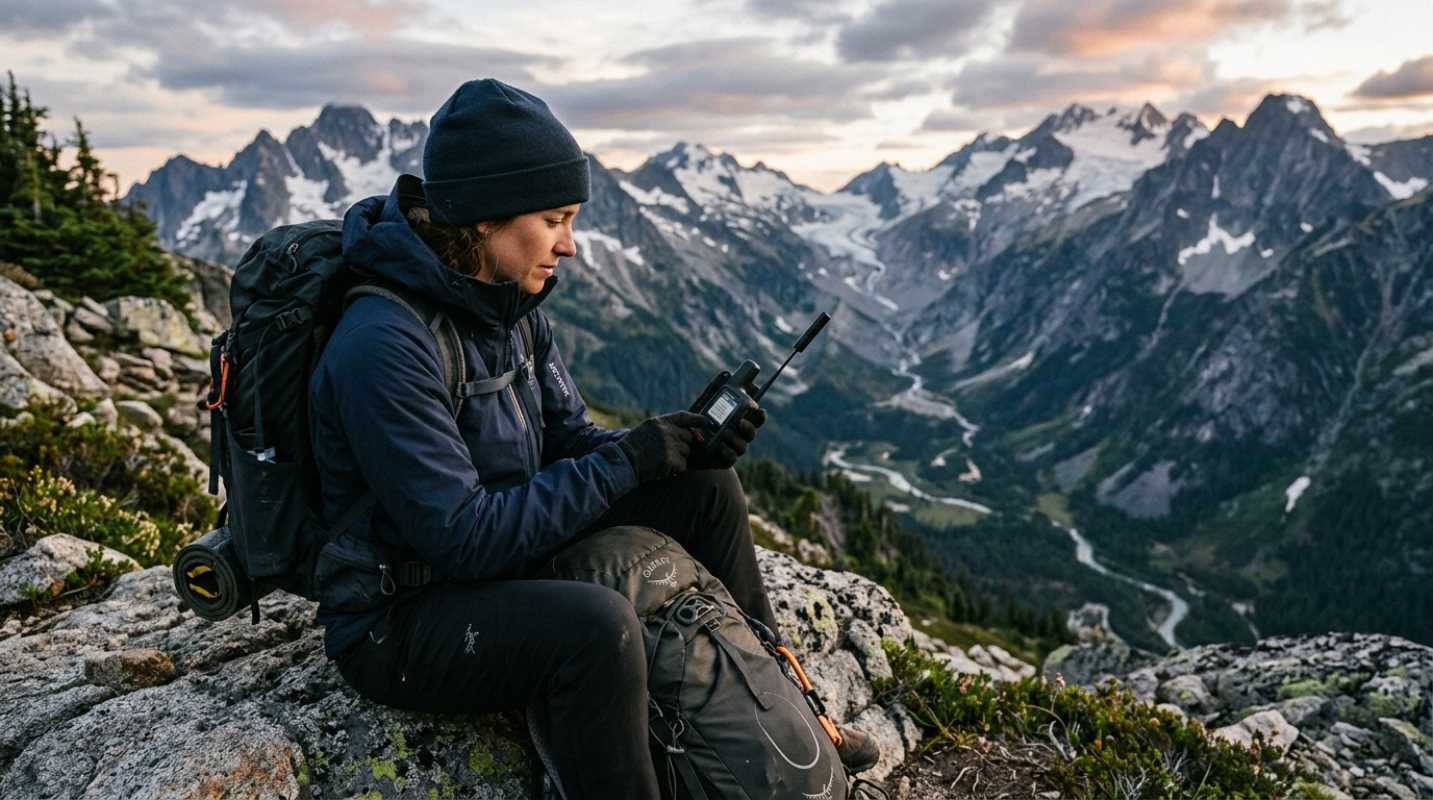
• Garmin inReach Messenger Plus: This is a top-tier satellite communicator that weighs just 4.1 ounces.² It lets you send text messages, photos, and 30-second voice memos over the Iridium network. This means you can send a photo of a washed-out trail or an injury directly to rescue teams. It also has a reverse-charging feature to help boost your phone battery, though heavy media use will drain its 25-day battery life faster.
• Garmin inReach Mini 3 Plus: Weighing 4.42 ounces, this device has a color touchscreen and a built-in microphone for voice messaging. It uses dual-band GPS for incredible accuracy under thick trees. Although it lets you type directly on the screen, some hikers find it a bit bulkier than its predecessor, and the on-device maps are very basic.
• Garmin inReach Mini 2: This is the classic ultralight choice. At just 3.5 ounces, it is incredibly light and has a battery that lasts up to 30 days in power-saving mode. It does not have a touchscreen, which makes typing tedious, but it is highly reliable. Thru-hikers love it because it provides peace of mind without adding noticeable weight to their packs.⁵
• ZOLEO Satellite Communicator: This is the best budget-friendly option at 5.3 ounces.³ It lacks a screen, so you must pair it with your smartphone to send messages. But its low price and ability to switch between Wi-Fi, cellular, and satellite networks make it perfect for casual backpackers.⁴
• Garmin GPSMAP 67i: If you are heading off-trail or into extreme terrain, this 8.1-ounce powerhouse is the gold standard. It has a large color screen, preloaded topographic maps, and up to 180 hours of battery life in active GPS mode. It is heavy, but it combines a GPS, map, and satellite communicator into one unit.
• T-Mobile T-Satellite: This is a direct-to-cell service that requires no extra hardware. Working with Starlink satellites, it lets you send text messages and share locations directly from compatible smartphones. Although convenient, keep in mind that smartphones are fragile and their batteries drain quickly in cold weather.
Mastering Your Gear and Needed Navigation Skills
Buying a high-tech GPS is only the first step. If you do not know how to use it, it is just an expensive paperweight.
How do you keep your digital tools from making you lazy? You practice. Never rely solely on an arrow on a screen. Keep track of your surroundings, look at the topography, and match what you see on your screen with the actual terrain.
Managing power consumption is another key skill. Before you leave the trailhead, download all your maps for offline use and put your phone in airplane mode. Cold weather drains batteries fast, so keep your devices in an inside pocket close to your body heat.
Finally, make sure your device is accessible. If your satellite communicator is buried deep inside your pack, you cannot use the SOS button quickly in an emergency. Clip it to your shoulder strap where it has a clear view of the sky.
Navigating Your Next Adventure with Confidence
Choosing the right navigation setup comes down to where you are going and how you like to travel. A thru-hiker on a well-marked trail needs a different tool than a mountaineer forging a new route through glacier country.
Before you head out on your next big trip, test your gear in a local park. Figure out how the menus work, practice pairing it with your phone, and send a test message to a friend.
When you know your gear inside and out, the wilderness becomes a much more welcoming place. You will walk with lighter steps, a lighter pack, and the quiet confidence that you always know exactly where you are.
Sources:
1. How Tech-Driven Navigation is Changing the Face of Outdoor Adventure
https://www.outdooradventures.pro/articles/how-tech-driven-navigation-is-changing-the-face-of-outdoor-adventure
2. Best Personal Locator Beacon
https://www.outdoorgearlab.com/topics/camping-and-hiking/best-personal-locator-beacon
3. Best Satellite Messengers
https://gearjunkie.com/technology/best-satellite-messengers
4. Best Personal Locator Beacons
https://www.treelinereview.com/gearreviews/best-personal-locator-beacons
5. Best Satellite Communicators
https://www.backpacker.com/gear/outdoor-electronics/best-satellite-communicators/?scope=anon